How Did We Get Here?
How Did We Get Here in Land Use Planning?
Land use planning in South Kenton County has changed significantly over the past decade. What began as a collaborative community process after the 2012 tornado led to the formation of the South Kenton County Citizens Group and helped shape Direction 2030, which recognized the rural sub area as a distinct and valuable landscape—not simply land waiting for development.
Between 2020 and 2024, the planning process changed. The pandemic interrupted public meetings, and many residents felt that the earlier collaborative process did not fully resume. During this period, manufacturing land-use designations expanded into agricultural areas, and the Site Readiness Initiative was developed and approved. These developments raised concerns about rural roads, industrial truck traffic, freight movement, and the long-term future of South Kenton County’s farms and rural communities.
From 2024 to 2026, residents continued showing up through meetings, letters, emails, and public testimony. Their message remains clear: growth and stewardship can move forward together, but public engagement must be meaningful, transparent, and visibly reflected in the decisions that shape our future.
Direction 2030 is about your voice, your choice, and your future.
2013-2020 A Collaborative Beginning
The South Kenton County Citizens Group (SKCCG) formed after 2012 tornado
Community surveys and public meetings guided recommendations
Direction 2030 was developed and adopted through a multiyear public planning process, with rural priorities incorporated into the county’s comprehensive planning framework.
The Rural Sub Area was recognized as a distinct landscape – not simply vacant land awaiting development
2020-2024 A Shift in Process
The pandemic interrupted public meetings
Although public meetings resumed, many participating residents did not believe that the earlier level of sustained, collaborative engagement had been restored.
The 2020 update expanded Manufacturing Land Use in Agricultural areas
Site Readiness Initiative (SRI) was developed and approved
The SRI proposed infrastructure and land-use changes intended to accommodate increased industrial development, truck traffic, and freight movement on and around rural roads.
2024-2026 Questions of Trust and Representation
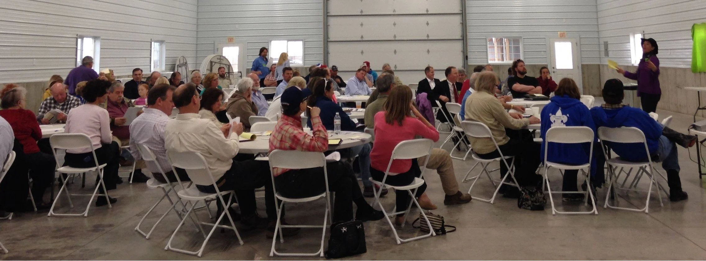
Residents continued to participate through meetings, letters, emails, and testimony
Growth and stewardship can advance together
Public engagement should leave visible evidence that community input mattered